Map for design purposes in Poland (2026): cost, lead time and validity
The map for design purposes (mapa do celów projektowych) is one of the core documents behind any construction project in Poland. It is the base on which the architect prepares the site development plan, fixing the position of the building, the routing of utility connections and the access from the road.
Map for design purposesPublished7 min read
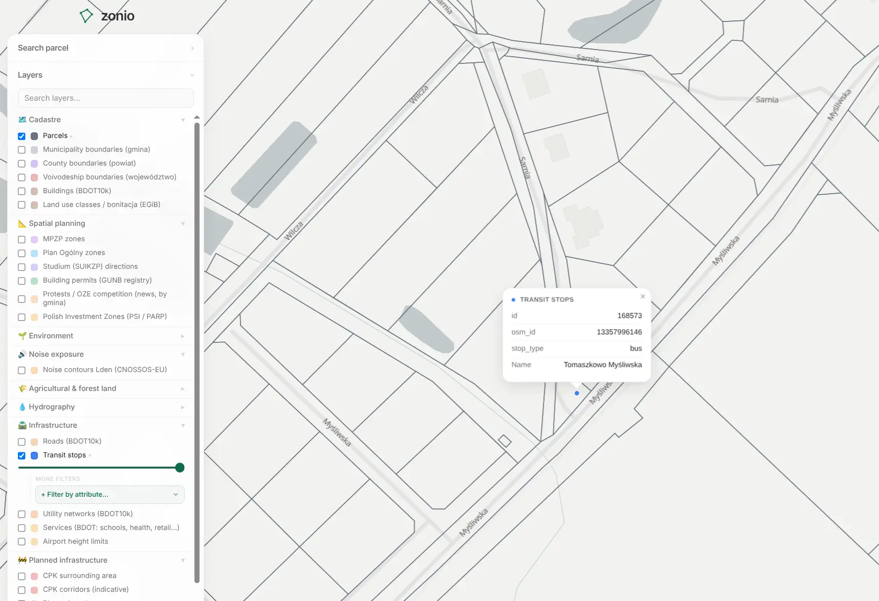
If you are still establishing whether a plot is buildable, you do not need to commission one yet. Check the land-use designation and the key constraints first. In Zonio you can review the planning information for a plot before you instruct a surveyor.
This article covers what a map for design purposes is, when it is required, what it costs in 2026, how long it takes to produce and what its "validity" actually means.
What is a map for design purposes?
A map for design purposes is a topographic survey map (site and elevation) of the plot and its surroundings. For a single-family house it is usually drawn at 1:500.
The architect prepares the site development plan on this map. It fixes, among other things, the footprint of the planned building, the routing of utility connections, footpaths and internal access, and the access from the public road.
It is prepared by a surveyor holding the relevant professional licence. The surveyor starts from the data held in the State Geodetic and Cartographic Resource, checks it against the situation on the ground and carries out any supplementary survey that is needed.
The finished survey documentation is then submitted for verification to the county geodetic and cartographic documentation centre (PODGiK).
Note that the gmina office does not issue maps for design purposes. The surveyor prepares the map from the geodetic records and their own field survey.
What does a map for design purposes contain?
The scope depends on the type of project, but the map has to carry everything needed to prepare the design properly.
In practice it shows, among other things:
- parcel boundaries and numbers, and land-use classes,
- existing buildings and other structures,
- underground and overhead utilities, such as water mains, sewers, gas, power and telecoms,
- spot heights and the terrain relief,
- roads, access points and fences,
- trees and other site features relevant to the project.
The map does not have to stop at the plot boundary. Its extent follows the project, so it may take in parts of neighbouring plots, the adjoining road or the corridor needed to design the utility connections.
It can be delivered on paper or in electronic form.
When is a map for design purposes required?
It is required above all when a site development plan is being prepared.
That applies, among others, to:
- a single-family house,
- a warehouse or a commercial building,
- any project that needs a building permit,
- construction notified to the authority with a building design attached,
- utility connection and road access designs, where they have to be drawn on a map for design purposes.
Under art. 34(3)(1) of the Building Law, the site development plan is prepared on a current map for design purposes.
Do you need one for a zoning decision (WZ)?
No.
If you are still establishing whether a house can be built on the plot and want to apply for a decision on land development conditions (decyzja o warunkach zabudowy, WZ), you do not need a map for design purposes yet.
A WZ application uses an extract of the base map (mapa zasadnicza) or, in some cases, of the cadastral map. Both can be ordered directly from the PODGiK, often online.
This matters because a base-map extract costs far less than a map for design purposes and involves no field survey.
Cadastral map, base map or map for design purposes?
The three are easy to confuse, but they serve different purposes.
The cadastral map shows mainly parcel boundaries and numbers, together with information from the land and building register (EGiB).
The base map carries a wider set of information, including buildings, utility networks and the planimetric and height detail held in the State Geodetic and Cartographic Resource.
The map for design purposes is a survey product prepared by a surveyor for a specific project. The records data is verified and brought up to date by a field survey.
How much does a map for design purposes cost in 2026?
For a typical single-family plot, a map for design purposes usually costs around 1,200–3,000 zl in 2026.
There is no fixed tariff. The price depends on the scope of the survey and on local surveyors' rates.
The main cost drivers are:
- the area the map has to cover,
- the number and type of existing utility networks,
- how densely the area is built up,
- the terrain,
- the location of the project,
- the amount of survey work needed to update the records data.
A map for a larger project, such as a warehouse, a housing estate or a solar farm, can cost considerably more than one for a single house.
It is worth getting quotes from several surveyors before you commission the work. The parcel number, the cadastral precinct (obręb) and a short description of the project are usually enough for a quote.
How long does it take?
Allow roughly 2–6 weeks from instructing the surveyor.
That covers obtaining the records, the field survey, processing the results, drawing the map and its verification at the PODGiK.
The law caps the time the authority may take to verify the survey documentation. Depending on the area covered, it is 7 working days up to 1 ha, 10 days up to 10 ha and 20 days above 10 ha.
That does not mean the whole map will be ready within that time. The surveyor's availability, the time needed for the survey and the documentation, and site conditions all affect the lead time.
In the building season surveyors are booked further ahead, so once the house design is settled, do not leave the map to the last minute.
How long is a map for design purposes valid?
The law sets no fixed validity period for a map for design purposes. There is no statutory rule that a map is valid for, say, 3, 6 or 12 months.
What matters is that the map is current: it has to reflect the actual situation on the ground at the time it is used for the design.
If material changes occur on the plot or around it after the survey (a new building, road, fence or utility connection, for example), the map may need updating.
That does not always mean starting from scratch. Depending on the extent of the changes, the surveyor can update the existing map.
How to order a map for design purposes
It is best done in a few steps.
1. First check what can be built on the plot. Check the local zoning plan (MPZP) or whether a WZ decision can be obtained. Also verify the constraints that follow from the general plan, nature protection or flood risk.
2. Agree the scope with the architect. The architect should specify the extent of the survey they need and the format they want the map in.
3. Ask several surveyors for a price and a lead time. Give them the parcel number, the precinct, the planned project and, if already known, the planned utility connections and road access.
4. Check the extent of the map you receive. Make sure it covers not only the building footprint but also the area needed to design the connections and the road access.
What a map for design purposes does not show
A map for design purposes records the existing situation and the geometry of the site. It does not tell you whether a house can be built in a given spot or what parameters the building may have.
That is set by the planning documents.
The local zoning plan can fix, among other things, the land-use designation, the maximum building height, the building intensity, the roof form and the minimum share of biologically active area. Where no MPZP applies, a WZ decision may be what governs.
Further constraints can come from other documents and registers, for example on nature protection, flood risk or existing utilities.
What to check before you order the map
A map for design purposes is needed at the design stage, but it does not have to be the first document you order after buying a plot.
First check whether the planned project is feasible and which constraints apply to the property. Then order the map, scoped to the specific design.
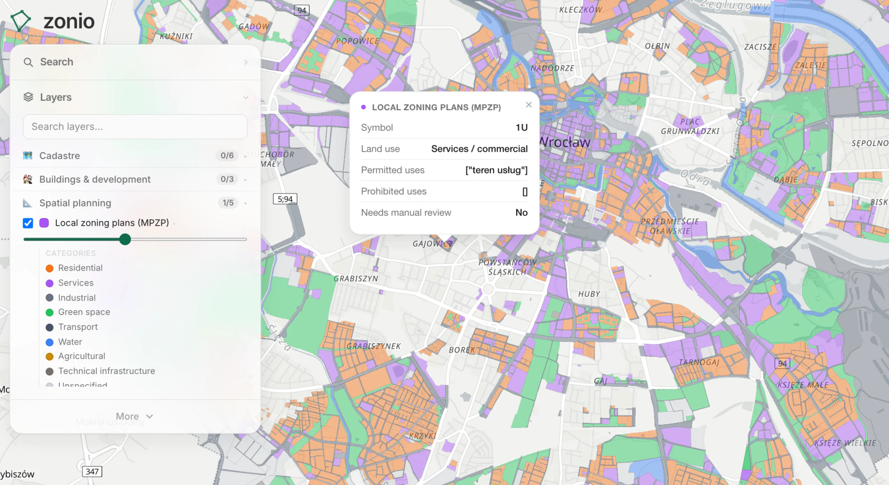
In Zonio you can review the planning information for the plot up front, including the land-use designation and the constraints that apply. That makes it easier to judge whether it is worth moving to the next stage and commissioning the survey.
It is a simple way to avoid paying for a map before you know the key constraints on your plot.