Features
How Zonio helps you search plots
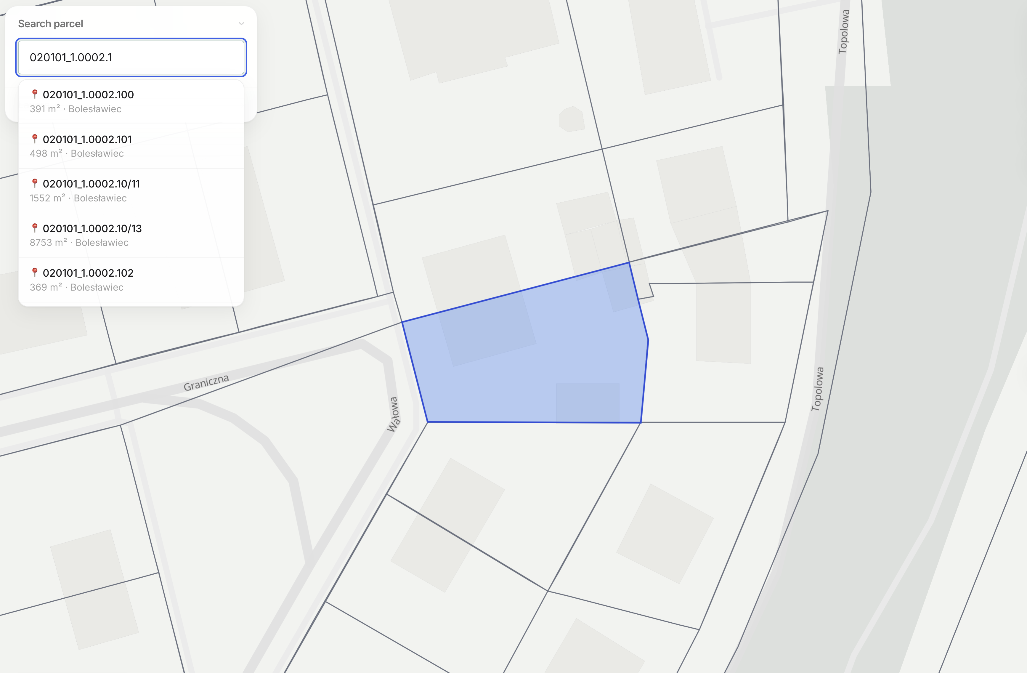
Cadastral parcel search
You select the plot by address, by cadastral parcel number or by clicking it on the map. The boundaries come from the land and building register.
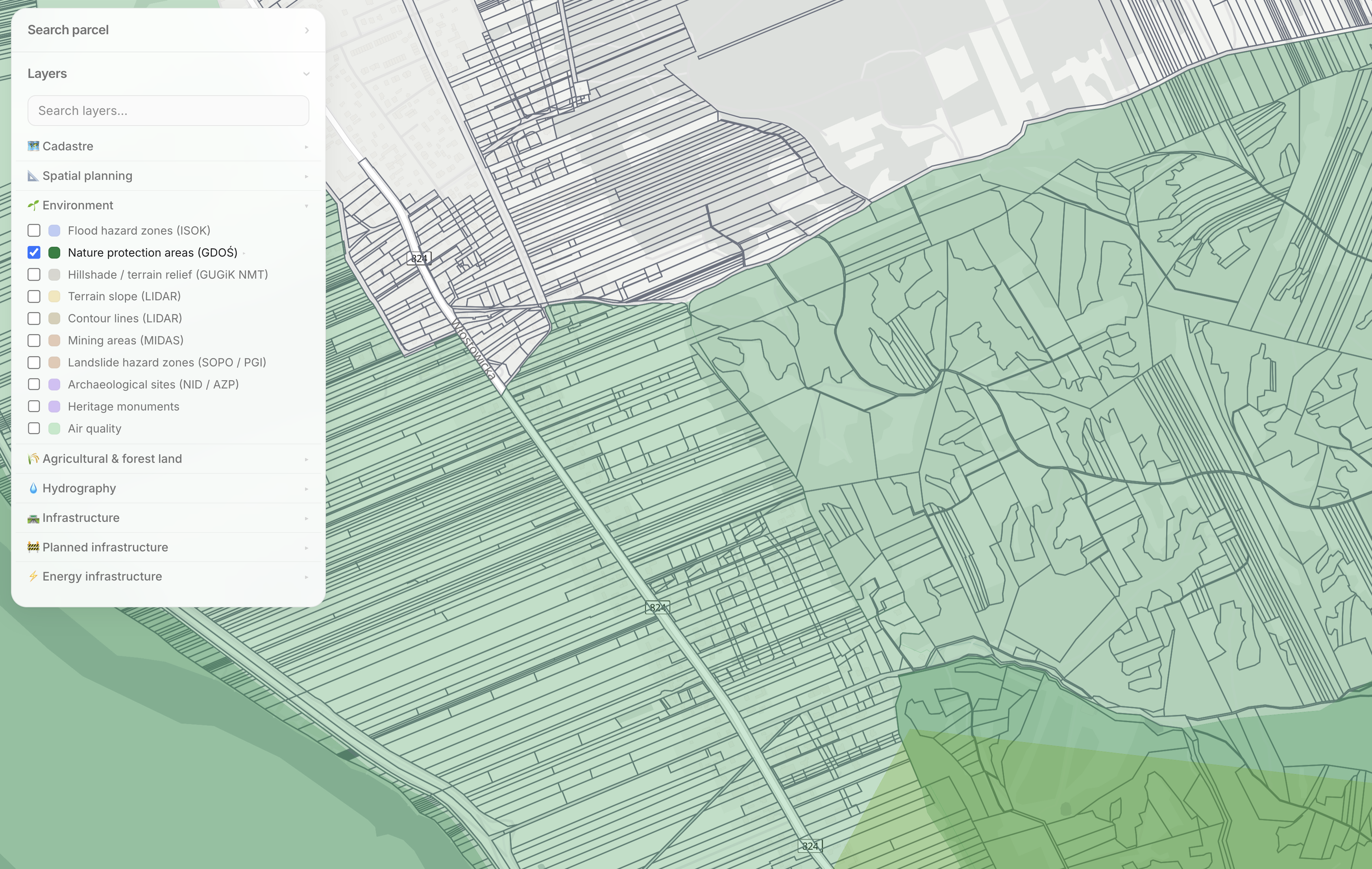
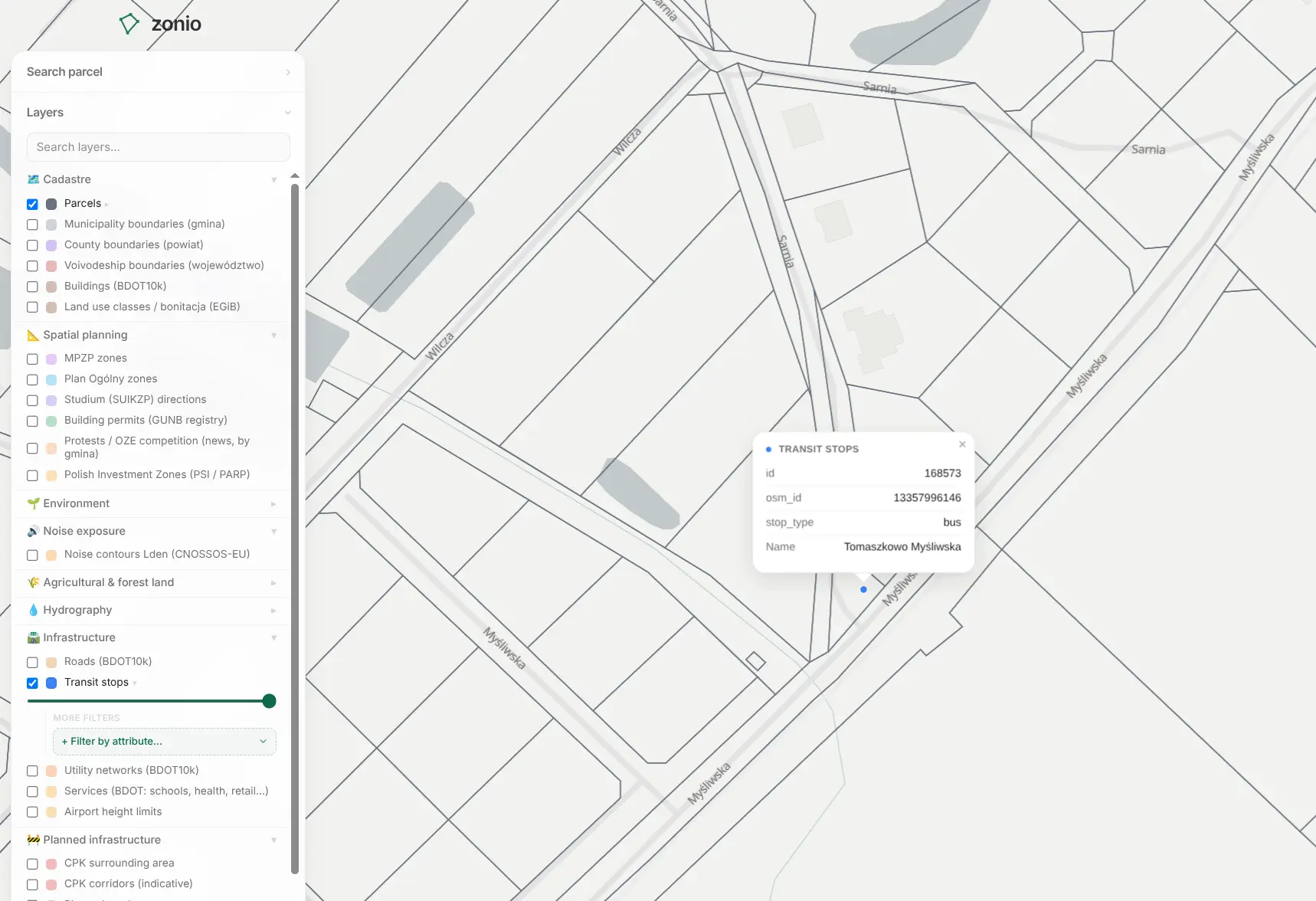
Layered spatial data
The Municipal General Plan and the zoning plan, nature and heritage protection, flood hazard, noise, utilities, terrain and many more.
Parcel report
Generate and share a comprehensive report on a parcel. It brings together the most important information from more than 20 data layers, including land designation, building parameters, the cadastre, potential hazards, infrastructure and the market situation. All in one PDF document you can keep for later or use, for example, in a conversation with your bank.
Analyse your first plot in two minutes
Explore the mapBrowse our interactive map and spatial data for free. Need deeper insights? Generate a complete property report gathering data across all available layers, or upgrade to a Pro subscription to unlock exclusive data layers.
See pricing