Contour lines (LIDAR)
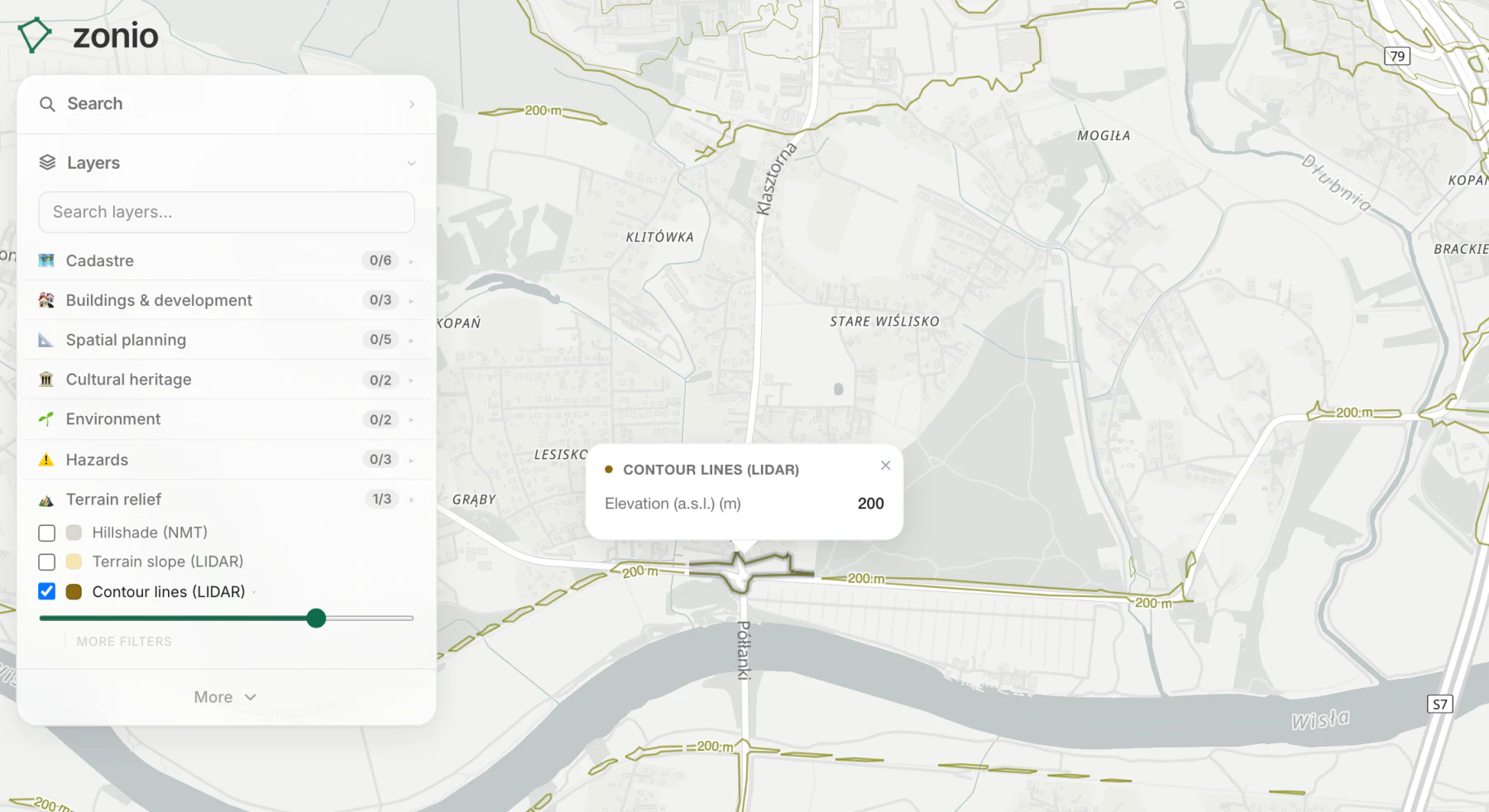
Contour lines at 5 m intervals from GUGiK elevation data. Exact ground heights help when planning foundations and water runoff.
Data source: NMT and LIDAR (GUGiK)
Contour lines at 5 m intervals from GUGiK elevation data. Exact ground heights help when planning foundations and water runoff.
Data source: NMT and LIDAR (GUGiK)