Soil classes (EGiB, selected counties)
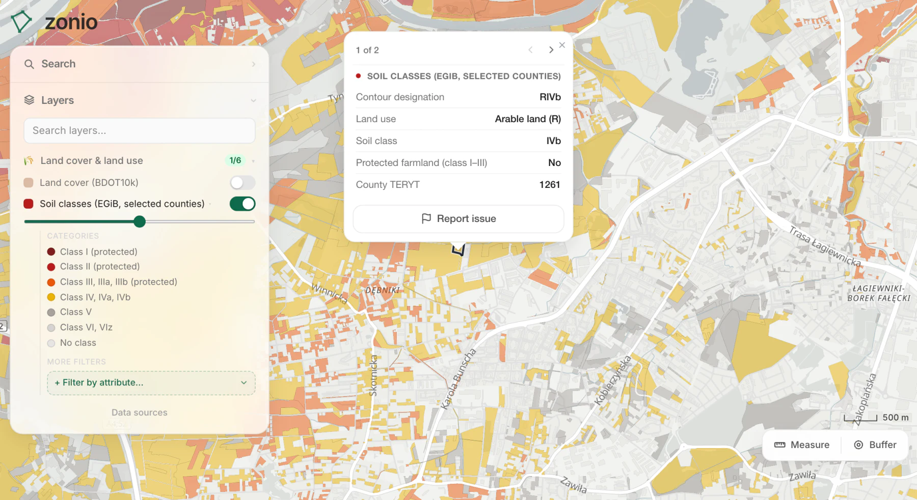
Soil classification contours from the land register as exact polygons, each labelled with its class (for example RIIIa or ŁIV). Farmland in classes I-III is protected: putting it to a non-farm use needs consent, so the better the soil, the harder it is to build. The map shows at a glance which part of a plot has the best soil. For now the layer covers only the counties whose servers publish exact geometry; elsewhere the Land use & soil classes layer shows the classes.
Data source: EGiB (county offices)