Hillshade (NMT)
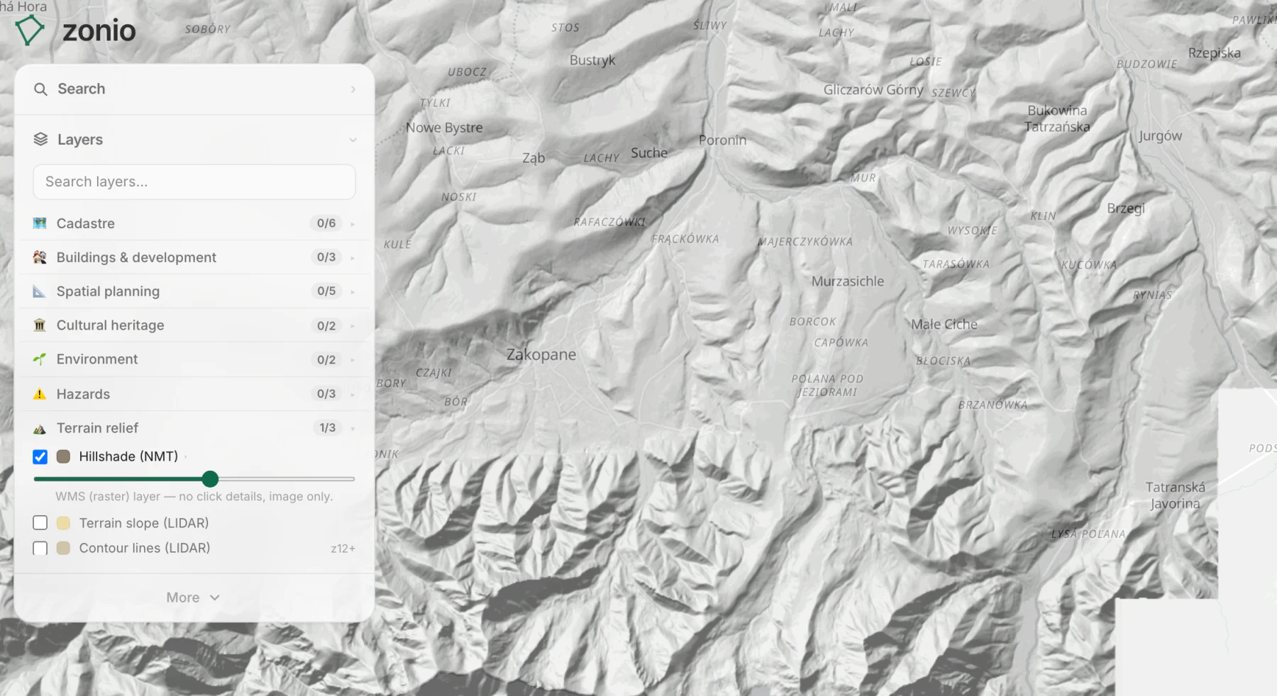
A shaded relief model of the ground from GUGiK data. It shows the lay of the land: escarpments, valleys and embankments stand out at once.
Data source: NMT and LIDAR (GUGiK)
A shaded relief model of the ground from GUGiK data. It shows the lay of the land: escarpments, valleys and embankments stand out at once.
Data source: NMT and LIDAR (GUGiK)