Terrain slope (LIDAR)
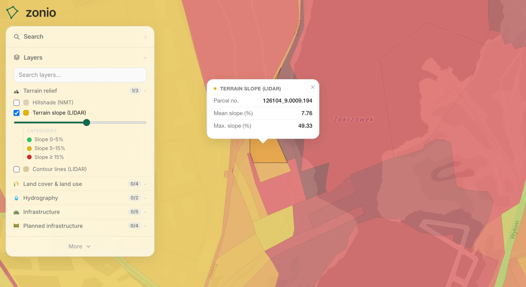
Slope computed from airborne laser scanning. The steeper the ground, the costlier the foundations and the drainage.
Data source: NMT and LIDAR (GUGiK)
Slope computed from airborne laser scanning. The steeper the ground, the costlier the foundations and the drainage.
Data source: NMT and LIDAR (GUGiK)