Areas excluded from OPRO (RDOŚ sensitivity maps)
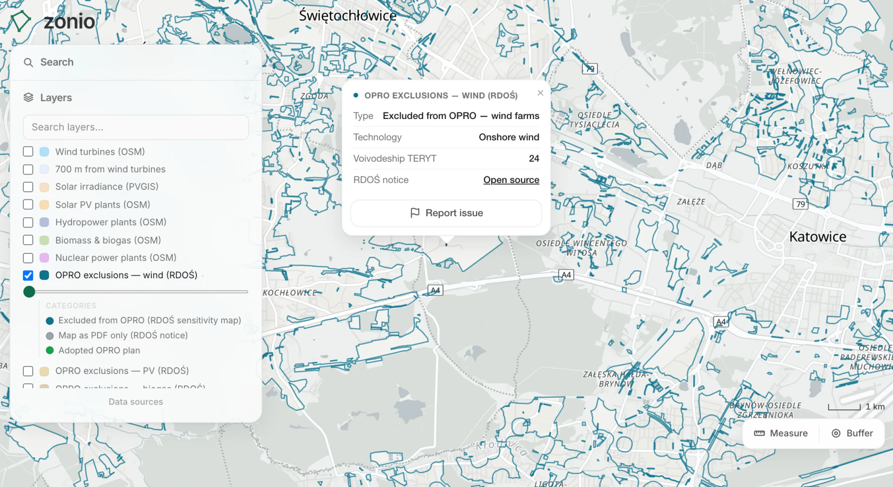
The regional environmental directorates (RDOŚ) publish nature sensitivity maps that mark the areas excluded from the OPRO fast track. In renewables acceleration areas (OPRO), a wind farm, a solar farm or a biogas plant will be buildable without an environmental decision, and the voivodeship assembly that designates them has to leave out the land on these maps. The layer shows the wind map and the shared map for solar PV, biogas, hydro and geothermal separately, plus separate biogas or hydro and geothermal maps where the RDOŚ split them out. An exclusion is not a ban on building: it means the ordinary procedure, with an environmental decision. Not every voivodeship has published its maps yet, and where the RDOŚ issued a map only as a PDF the whole voivodeship is greyed out, with a link to the notice. The maps do not replace the 700 m setback from housing or the Natura 2000 limits.
Data source: RDOŚ and voivodeship assemblies
Other layers in this category
- Wind turbines (OSM)
- 700 m from wind turbines
- Solar irradiance (PVGIS)
- Solar PV plants (OSM)
- Hydropower plants (OSM)
- Biomass (OSM)
- Nuclear power plants (OSM)
- Planned renewable projects (EIA decisions, permits)
- Weather stations (IMGW-PIB)
- Biogas plants (KOWR + URE)
- Wastewater treatment plants (KPOŚK)
- Dairies and meat plants (GIW)
- District heating companies – seats (URE)