Solar PV plants (OSM)
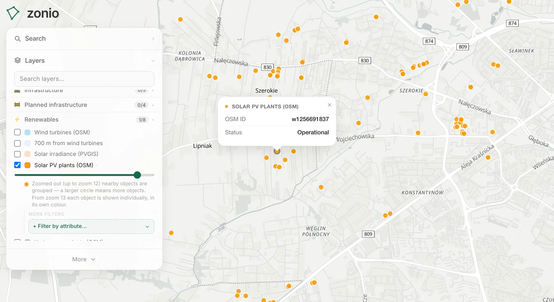
Existing solar farms and installations from OpenStreetMap. How many are nearby tells you about competition for grid capacity.
Data source: OpenStreetMap
Other layers in this category
- Wind turbines (OSM)
- 700 m from wind turbines
- Solar irradiance (PVGIS)
- Hydropower plants (OSM)
- Biomass (OSM)
- Nuclear power plants (OSM)
- Areas excluded from OPRO (RDOŚ sensitivity maps)
- Planned renewable projects (EIA decisions, permits)
- Weather stations (IMGW-PIB)
- Biogas plants (KOWR + URE)
- Wastewater treatment plants (KPOŚK)
- Dairies and meat plants (GIW)
- District heating companies – seats (URE)